

The Wings of Protection: How Drones are Redefining Public Safety Globally and in Canada
- krdroneworks
- Dec 31, 2025
- 4 min read
By Colonel (ret) Bernie Derbach, KR Droneworks, 31 Dec 25

The persistent hum of a drone overhead is no longer just a sound of curiosity; it is rapidly becoming the soundtrack of modern public safety. From the high-tech urban corridors of Tokyo to the unforgiving peaks of the Canadian Rockies, Unmanned Aerial Vehicles (UAVs) are fundamentally altering the landscape of emergency response. What was once a military-grade luxury is now a standard-issue tool for first responders, offering a "bird’s-eye view" that saves lives, protects property, and keeps personnel out of harm's way.
This comprehensive review explores the global shift toward drone-integrated public safety before diving deep into the specific advancements and leadership demonstrated within Canada.
1. Global Public Safety: An Eye in the Sky
Across the globe, public safety agencies are embracing drone technology for its versatility, cost-effectiveness, and ability to provide a critical vantage point in high-stakes environments.
Search and Rescue (SAR)
When lives hang in the balance, every second is a commodity. Drones equipped with high-definition optical zoom and thermal imaging (FLIR) sensors can scan square kilometers in minutes—a task that would take ground teams hours. In the United Kingdom, police forces use drones to find missing persons in dense woodlands, often locating individuals by their heat signatures through thick canopy. In Australia, surf life-saving drones patrol the coasts, identifying swimmers in distress or spotting sharks before they reach crowded beaches.

[Search and Rescue Drone identifying a heat signature in a snowy mountain range]
Firefighting: Urban and Forested
Fighting fires is a battle against an unpredictable enemy. In California and Australia, "fire drones" are used to map wildfire perimeters in real-time, even through thick smoke that grounds traditional helicopters. They can deploy "Dragon Eggs" (delayed-ignition spheres) to start backfires, creating firebreaks without risking a pilot's life.

Drone monitoring a forest fire with a thermal overlay showing hot spots
In urban settings, such as with the French Fire Service, drones are deployed to the upper floors of burning skyscrapers to assess structural integrity and locate trapped occupants. This allows commanders to decide whether a building is safe for entry or if a defensive strategy is required.

Professional drone inspecting a burning urban high-rise building
Law Enforcement and Tactical Response
Drones provide "tactical de-escalation." By sending a drone into a high-risk scene—such as a hostage situation or an active shooter incident—police can gather intelligence without a "boots-on-the-ground" confrontation. In Dubai, the police force utilizes a fleet of drones for rapid traffic accident reporting and crowd monitoring during massive public events.
Meanwhile, in the United States, the "Drone as a First Responder" (DFR) program allows drones to be launched from rooftops the moment a 911 call is placed, often arriving at the scene minutes before patrol cars.

Police drone hovering over a city street during a tactical operation
Disaster Response and Assessment
Following catastrophic events like the earthquakes in Turkey or hurricanes in the Caribbean, infrastructure is often pulverized. Drones are the first on the scene to perform "Rapid Needs Assessment." In Japan, following the Fukushima disaster, drones were used to inspect radiation levels and structural damage in areas too toxic for humans. They create 3D maps of debris fields, helping rescue teams prioritize where to dig.

Drone surveying a flooded town and damaged infrastructure after a natural disaster
2. Canada’s Aerial Guardians: Innovation in the North
Canada presents a unique challenge: a massive landmass with extreme weather variations and remote communities. Canadian public safety agencies have become world leaders in adapting drone technology to these harsh conditions.
The Royal Canadian Mounted Police (RCMP)
The RCMP was one of the earliest adopters of UAV technology in North America. Their program has grown from simple photography to a sophisticated nation-wide fleet.
Evidence Collection & Forensic Reconstruction: In provinces like Saskatchewan and Alberta, the RCMP uses drones to map major vehicle collision scenes. Using photogrammetry, they can create 3D models of the crash site in minutes, allowing them to reopen highways much faster than traditional surveying methods.
Northern Search and Rescue: In the Canadian North, where temperatures can drop below -40°C, the RCMP utilizes specialized cold-weather drones to locate stranded snowmobilers. These drones are essential when traditional aircraft are grounded by "whiteout" conditions.
Tactical Support (ERT): Emergency Response Teams (ERT) use small, "indoor-capable" drones to fly through windows and navigate hallways, providing a live feed of suspects' locations while keeping officers behind cover.
Urban Innovation: Toronto and Vancouver
Municipal services in Canada's largest cities are equally tech-forward. Toronto Fire Services uses drones to monitor large industrial fires and hazardous material (HAZMAT) spills. By mounting chemical "sniffers" on a drone, they can identify toxic gases in a plume without sending a technician in a heavy HAZMAT suit into the "Hot Zone."
In British Columbia, drones are heavily utilized for avalanche control and monitoring. By surveying snowpack stability from the air, agencies can trigger controlled avalanches, protecting mountain highways and ski resorts.
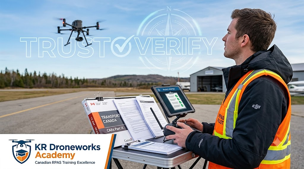
Regulatory Leadership
Canada is also a leader in the governance of drones. Transport Canada has created a robust framework for "Beyond Visual Line of Sight" (BVLOS) operations. This is crucial for Canada's vast wilderness, allowing a drone to fly 20 kilometers away from its pilot to deliver medical supplies to remote Indigenous communities or to inspect a remote pipeline leak.
3. The Future of Public Safety Drones
The next frontier for public safety is Artificial Intelligence (AI) and Autonomy. We are moving toward a future where drones will:
Auto-detect anomalies: AI will automatically flag a heat signature or a weapon in a crowd.
Swarm Technology: Multiple drones working in a synchronized grid to map a disaster zone in seconds.
Medical Delivery: Delivering Automated External Defibrillators (AEDs) to cardiac arrest victims in minutes, significantly increasing survival rates.
References and Further Reading
Transport Canada: Drone Safety and Regulations (2024).
RCMP National Drone Program: Annual Operational Report.
International Association of Chiefs of Police (IACP): Use of UAVs in Public Safety.
DJI Enterprise: White Paper on Drones in Firefighting and SAR.
Public Safety Canada: National Strategy for Critical Infrastructure.


Comments