

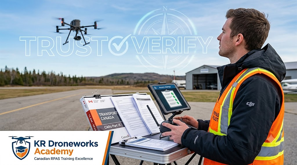
Seeing the Unseen: The Power of Thermal Drones in Search and Rescue
- krdroneworks
- Feb 7
- 3 min read
By: Colonel Bernie Derbach, KR Droneworks Academy, 07 Feb 26

In the critical minutes following a missing person report or a disaster, "situational awareness" isn't just a buzzword—it’s the difference between a successful recovery and a tragedy.
Traditionally, responders relied on flashlights, K9 units, and sheer intuition. Today, the integration of Unmanned Aerial Systems (UAS) equipped with thermal sensors has fundamentally shifted the tactical landscape.
However, a thermal drone is not a "magic eye" that sees through walls or identifies people instantly. It is a sophisticated scientific tool that requires a blend of technological understanding and human judgment.
How Thermal Imaging Actually Works
To use thermal effectively, responders must first debunk the "Hollywood" myth: thermal cameras do not see heat; they detect infrared radiation.
Every object with a temperature above absolute zero emits infrared energy. Thermal sensors, known as microbolometers, capture this energy and translate it into a visual map called a thermogram.
The Core Mechanics
Emissivity: This is the measure of an object's ability to emit infrared energy. Shiny objects (like aluminum or glass) have low emissivity and often act like mirrors, reflecting the thermal signature of the sky back at the sensor.
Thermal Contrast: Success in a search mission depends on the difference in temperature between the target (a warm body) and its surroundings (the cold ground).
Resolution and Refresh Rate: Higher resolution ($640 \times 512$ is the current professional standard) allows for detection from higher altitudes, keeping the drone quiet and safe while covering more ground.
Why Interpretation Matters More Than the Specs
A common mistake in drone programs is assuming that a high-end sensor does the work for you. In reality, the pilot’s ability to interpret data is paramount.
The "False Positive" Problem
In rural searches, pilots encounter "hot spots" that aren't the target. Rocks that held heat from the sun (thermal inertia), livestock, and even decomposing stumps can mimic human heat signatures.
The Role of Palette Selection
Choosing the right color palette is a tactical decision:
White Hot/Black Hot: Best for spotting general heat signatures against uniform backgrounds.
Ironbow/Rainbow: Useful for detecting subtle temperature differences in complex environments.
Isotherms: A critical tool where the pilot highlights a specific temperature range (e.g., $30$°C to $40$°C) to make a human signature "pop" against the cold ground.
Winter Operations: Finding Footprints in the Snow
Winter offers a unique forensic advantage: detecting "thermal footprints" through disturbed earth thermal signatures:
Thermal Transfer: Compression of snow changes its density and emissivity.
Sub-surface Exposure: Shallow footsteps can expose warmer ground underneath.
The "Ghost" Effect: For a short window, latent body heat remains in the snow after a person has moved on.
Training: The Ultimate Force Multiplier
A $30,000 thermal drone is useless if the pilot cannot distinguish a person from a warm rock. Proficiency requires moving beyond basic flight skills into the realm of Aerial Thermography.
Detailed Training Pillar: The 5-Day SAR Intensive
To move a team from "drone operators" to "SAR Specialists," a standardized curriculum—often aligned with NFPA 2400 or NIST standards—is essential.
Day | Focus Area | Key Learning Objectives |
1 | Foundations & Physics | Basics of thermography, emissivity variations, and the Johnson Criteria (Detect vs. Identify). |
2 | Technical Flight Mastery | Calibration, gain modes, and practicing off-nadir (angled) gimbal positions for canopy penetration. |
3 | Environmental Tactics | Managing thermal crossover, navigating "thermal drift" in cold weather, and water-based reflections. |
4 | Night & Low-Vis Ops | Night physiology, anti-collision lighting, and executing timed search patterns in zero-illumination. |
5 | Mission Simulation | Full-scale mock search with live subjects, real-time data streaming to Command, and post-flight debriefs. |
Specialized Skills Taught
Atmospheric Attenuation: Understanding how humidity and fog absorb infrared radiation before it reaches the sensor.
Tactical BVLOS: Operating "Beyond Visual Line of Sight" to cover vast wilderness areas while maintaining signal integrity.
AI Integration: Learning to use AI-assisted detection software to flag heat signatures, reducing "eye fatigue" for the pilot during long missions.
Conclusion
The transformation of raw thermal data into a "save" requires a coordinated command structure and a pilot who understands the "why" behind the image. By mastering the intersection of high-resolution hardware and scientific training, responders can turn "blobs on a screen" into lives saved.
References & Further Reading
FLIR Systems. (2023). The Science of Thermal Imaging in Public Safety.
National Institute of Standards and Technology (NIST). (2022). Best Practices for UAS in Search and Rescue.
Journal of Search and Rescue (JSAR). (2021). Comparative Analysis of Thermal Sensors in Sub-Zero Environments.
DroningON. (2024). Understanding Emissivity and Reflectivity in Aerial Thermography.


Comments